Italy
Rome map poster
Rome has been continuously inhabited for over 2,700 years, and its street pattern is a palimpsest of different eras: Roman roads, medieval alleys, Renaissance straightenings, and 19th-century boulevards. The centre is walkable but irregular. What surprises most people is that Vatican City, a sovereign state within Rome, has a higher GDP per capita than any other country in the world.
30×40cm / 12×16″
200gsm archival matte
£25 · free shipping
Frequently asked about Rome posters
What size is the Rome map poster?
The Rome map poster measures 30×40cm (roughly 12×16 inches), a standard poster size that fits most ready-made frames available at IKEA, high street shops, and online retailers.
What paper is the Rome poster printed on?
All Rome posters are printed on 200gsm archival matte paper with UV-resistant pigment inks. The paper is FSC-certified and the inks are rated for decades of display without noticeable fading.
Can I frame the Rome map poster?
Yes. The 30×40cm size is a standard frame size. You can find affordable frames at most home goods stores. The poster ships rolled in a sturdy tube and will flatten easily under light pressure or in a frame.
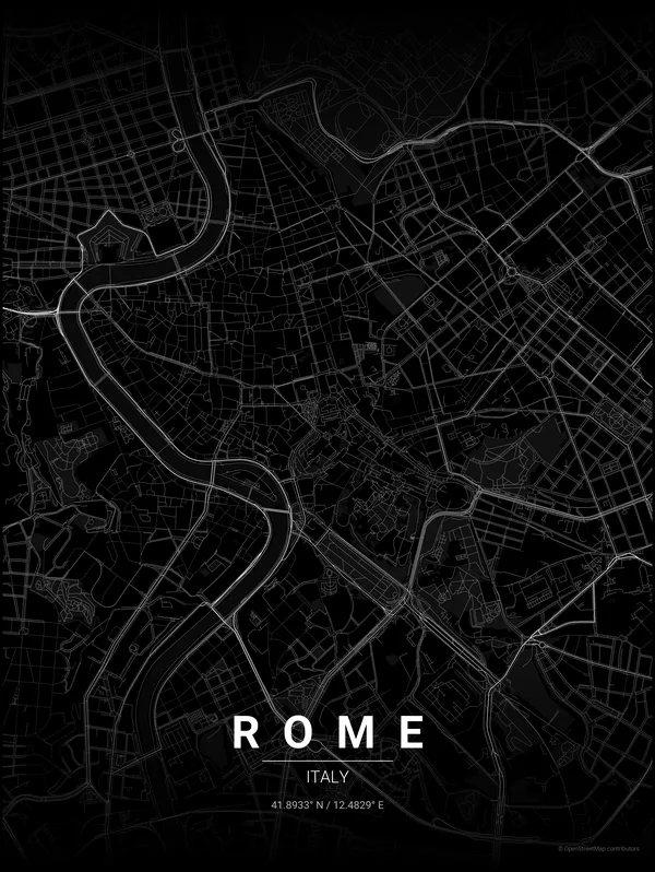
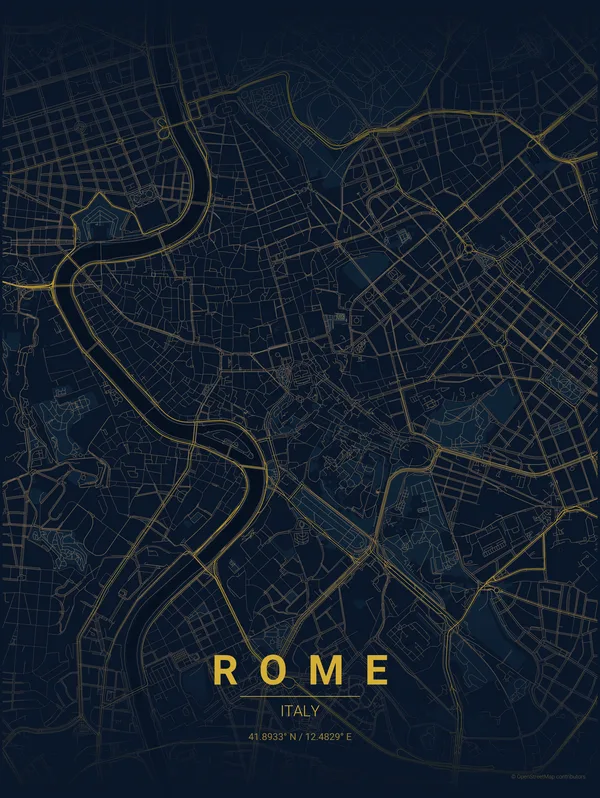
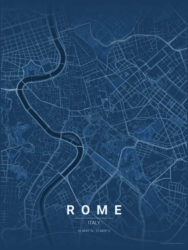
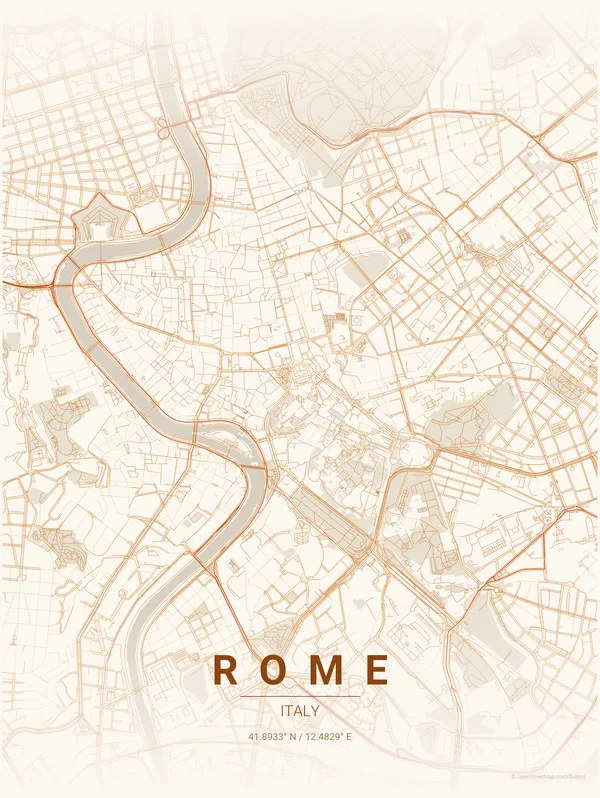
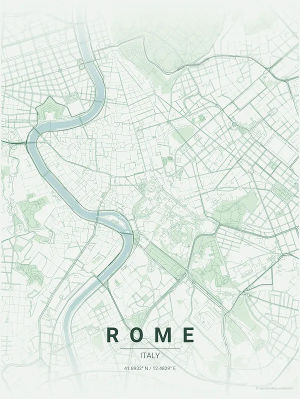
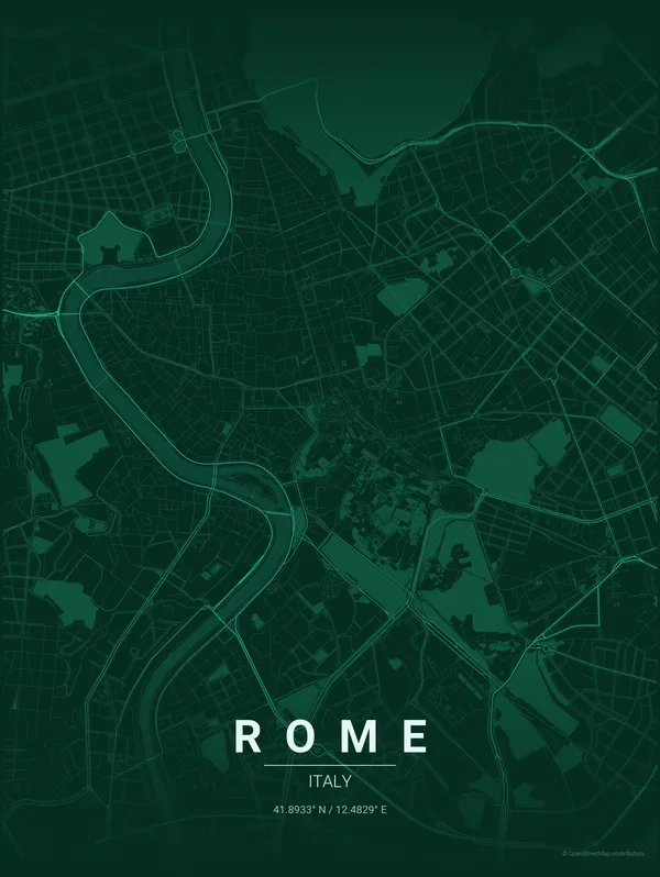
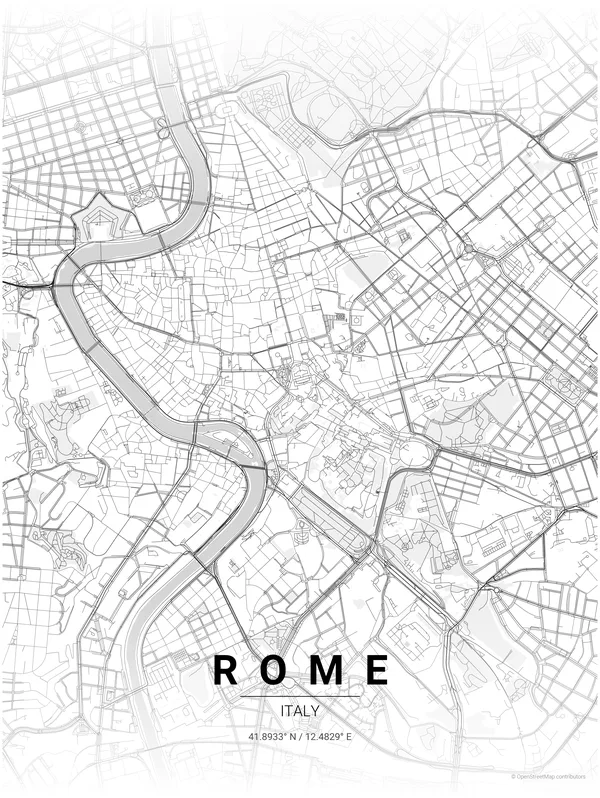
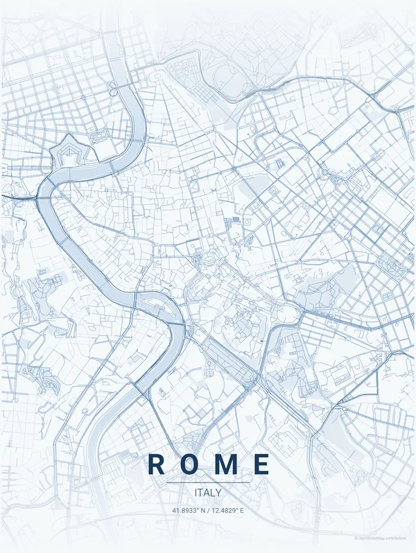
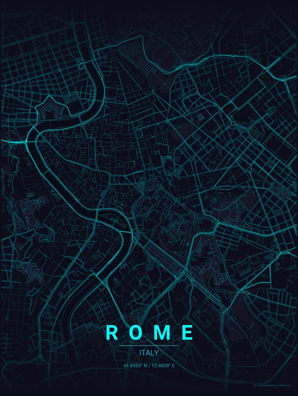
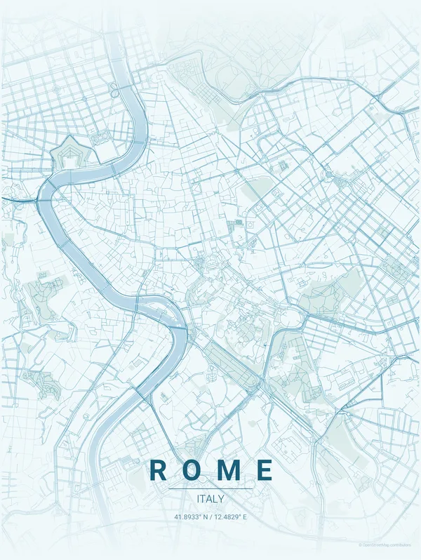
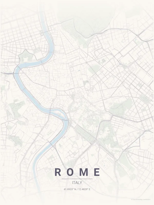
What is the difference between the Rome colourways?
The Rome poster is available in 11 colourways: from high-contrast Noir (black streets on white) to coastal Swell (teal tones) and electric Strip (neon-inspired). Each colourway uses the same map data but applies a different colour palette to streets, water, green spaces, and background. You can see all 11 on the Rome poster page.
How is the Rome poster made?
Each Rome poster is generated from OpenStreetMap data and rendered as a clean vector map. It is printed on demand when you order, which means no inventory waste and a fresh print every time.
Does the Rome poster show landmarks?
The poster focuses on the street network, waterways, and green spaces of Rome rather than individual landmarks. It is designed as an abstract city portrait where the street layout itself is the subject.